GTA 6 Mapping Team Locks In Vice City Grid and Turns to Leonida's Hidden Northern Border

With community mappers reaching consensus on roughly 90 percent of Vice City's street grid in Yanis's V17 update, fan triangulation has shifted to Leonida's concealed northern wilderness and its unconfirmed open-world border.
An October 17 breakdown from Saukko505 shows the Yanis V17 community map modeling roughly 90 percent of Vice City's urban street layout, leaving Leonida's concealed northern wilderness as the real open question for your first cross-state getaway. Once you blow past the city limits with five stars, nobody outside Rockstar knows whether the highway dead-ends into ocean water or climbs into a mountain wall.
Fan Theory Saukko505, MrBossFTW, and the GTA VI Mapping Project; Rockstar hasn't confirmed
Mapping Projects Push Past the Vice City Grid
Coverage from GamesRadar+ places Grand Theft Auto VI across the state of Leonida, anchoring Vice City inside a broader spread of countryside. Without an official top-down chart, volunteers at the interactive GTA VI Mapping Project have spent months locking down downtown avenues, POI coordinates, and terrain boundaries.
That metro work has reached diminishing returns. While Yanis's V17 build stabilizes the downtown block structure, that 90 percent figure is a self-assigned project metric from fan consensus, not verified game geometry. Because perspective math from distant trailer horizons can stretch rural mileage, the solid metro grid simply exposes how much northern territory remains dark.
Where the Community Map Encounters the Northern Perimeter
In an October 19 video, MrBossFTW compared the tight cluster of confirmed trailer footprints in the south against the massive blank tracts across northern Leonida. Coverage from GamesRadar+ notes that while rural regions and the Leonida Keys have documented trailer landmarks, the northern border remains undefined. For players who remember how GTA V funneled every northern police chase onto the single coastal loop around Paleto Bay, the shape of the northern backcountry determines how far off-road vehicles can actually run from city heat.
- Island water vs. terrain barrier: Fan mappers debate whether northern Leonida terminates in open ocean like Southern San Andreas or uses impassable timber and ridges like Red Dead Redemption 2's Ambarino.
- Backcountry utility: Unmapped northern tracts point toward off-road trails, hunting spaces, and mud routes separated from Vice City's tight police response grid.
- Perspective distortion: Triangulating distant ridgelines from low-angle footage can exaggerate rural distances until closer camera angles lock the coordinates in place.
- Highway loop structure: Mappers still lack the northern road junctions needed to tell whether interstate getaways form a closed ring or split into dead-end backcountry spurs.
MrBossFTW and mapping regulars argue over whether the empty northern canvas hides late-game narrative isolation or a hard landmass cutoff, a debate that overlaps with our earlier look at Leonida's six official regions and the second city size debate. The next real test for the V17 projection is a single high-altitude northern frame showing either an ocean horizon or an unbroken treeline.

Vice City Is Real for One Night: Rockstar's Miami Takeover, From the $975,000 Roof Sign to the Heat's Nov 18 Game
News
Leonida, Region by Region: Where GTA 6 Takes You on a Map About Twice GTA 5, per Garbut
News
Lucia Is From Liberty City: What GTA 6's Ties to GTA 4 and GTA 5 Do (and Don't) Tell Us
News
GTA 6 Vice City vs 2002’s Vice City: What Rockstar Kept, Moved and Renamed
News
GTA 6 Is Locked for 19 November 2026. Six Wagers Are Still Wagers
News Insider Gaming Reports GTA 6 NPC Personality Traits and Campaign Speedrun Locks
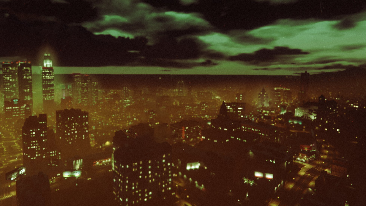 Rockstar Adds GTA Online Halloween Weather Filter Toggle Ahead of GTA 6
GTA 6 Edge Magazine Preview Breakdowns Detail Police Dossiers and Criminal Profile System
 Circana Survey Shows 29% Day-One GTA 6 Launch Intent Across US Console and PC Players
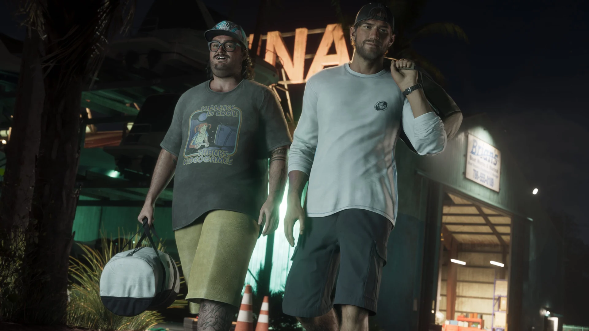 Rockstar Keeps GTA 6 Story Length Unconfirmed as Runtime Theories Spread