GTA 6 Mount Kalaga Map Analysis: Misteri Breakdown Spots Apple Maps-Style Radar
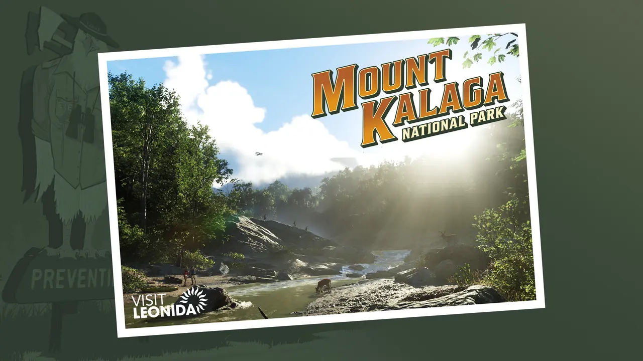
Mapping analyst Misteri's 100-day breakdown projects Mount Kalaga as Leonida's rugged RDR2-style wilderness anchor and spots a dynamic mini-map that shifts color palettes between day and night.
Mapping analyst Misteri released a 100-day synthesis video that spots the GTA 6 mini-map shifting color palettes between day and night while projecting Mount Kalaga as a rugged wilderness anchor that dwarfs Blaine County. If you blow a tire fleeing five-star heat north of Vice City, you are miles from a Los Santos Customs spray booth.
Fan Theory Creator Misteri's 100-day mapping breakdown and community triangulation; Rockstar Games has not confirmed full map dimensions or HUD mechanics
Mount Kalaga's Backcountry Versus Mount Chiliad
In a companion wilderness scale breakdown, Misteri estimates the total traversable landmass of the State of Leonida sits well above GTA V's Los Santos and Blaine County footprint. While GameSpot has tracked how non-urban regions and wildlife habitats frame the northern border, this unverified GTA 6 Mount Kalaga map analysis treats the park as a direct counterpart to Red Dead Redemption 2's Grizzlies and Cumberland Forest.
In GTA V, driving a low-slung supercar up Mount Chiliad was an arcade stunt with zero mechanical penalty unless you landed on the roof. Misteri's triangulation suggests Mount Kalaga introduces serious off-road friction, forcing players to rethink suspension loadouts and dirt-bike getaways when unpaved elevation replaces the flat coastal grid. Take the square-mileage estimates with caution, since camera angle triangulation and road sign parallax can easily overestimate non-traversable mountain backdrops.
Does the Mini-Map Adapt Like Modern Phone GPS?
High-speed wilderness evasion requires a readable radar when you transition from neon avenues into unlit timber. Alongside Polygon's examination of parody smartphone interfaces and isolated road infrastructure, Misteri's breakdown highlights key navigation details spotted across early footage:
- The HUD mini-map appears to adjust its palette tones based on the in-game time of day, flipping between light and dark modes like modern Apple Maps turn-by-turn navigation.
- Adaptive radar contrast keeps dirt trails legible when driving from sunlit highways straight into dense canopy shadows.
- Topographical elevation cues in the northern border region point to layered vertical navigation across ridges and valleys.
- Expanded highway networks link Vice City's coastal perimeter directly into remote backcountry trails tracked by the State of Leonida Mapping Project.
Those HUD color shifts could still turn out to be pre-rendered promotional overlays or ambient lighting reflections on the screen, not a confirmed GPS operating system mechanic.
Even with that caveat, YouTube viewers dissecting Misteri's 100-day findings are already arguing over whether Mount Kalaga will house deep off-grid survival loops and hunting cabins or serve mainly as scenic dirt-bike terrain between scores, while others question if a bright daytime radar will distract during midday police chases. Keep an eye on our Mount Kalaga National Park guide and our breakdown of the six official Leonida regions as mappers match the next batch of roadside signage against the northern border.

Vice City Is Real for One Night: Rockstar's Miami Takeover, From the $975,000 Roof Sign to the Heat's Nov 18 Game
News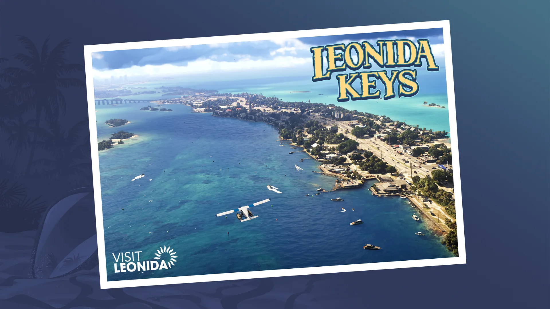
Leonida, Region by Region: Where GTA 6 Takes You on a Map About Twice GTA 5, per Garbut
News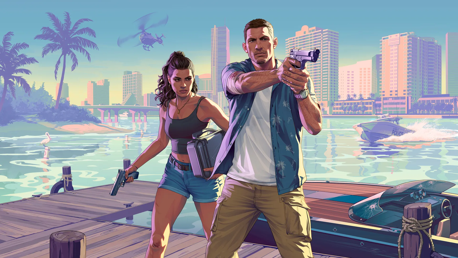
Lucia Is From Liberty City: What GTA 6's Ties to GTA 4 and GTA 5 Do (and Don't) Tell Us
News
What GTA 6 Fans Are Talking About Before November 19
News
GTA 6 Vice City vs 2002’s Vice City: What Rockstar Kept, Moved and Renamed
News
Insider Gaming Reports GTA 6 NPC Personality Traits and Campaign Speedrun Locks
 Rockstar Adds GTA Online Halloween Weather Filter Toggle Ahead of GTA 6
GTA 6 Edge Magazine Preview Breakdowns Detail Police Dossiers and Criminal Profile System
 Circana Survey Shows 29% Day-One GTA 6 Launch Intent Across US Console and PC Players
 Rockstar Keeps GTA 6 Story Length Unconfirmed as Runtime Theories Spread